Groundwater Survey
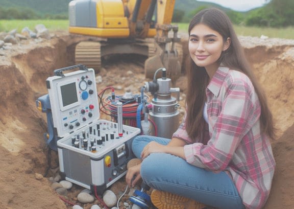
Identifying and analyzing groundwater resources for sustainable usage.
Identifying and analyzing groundwater resources for sustainable usage.
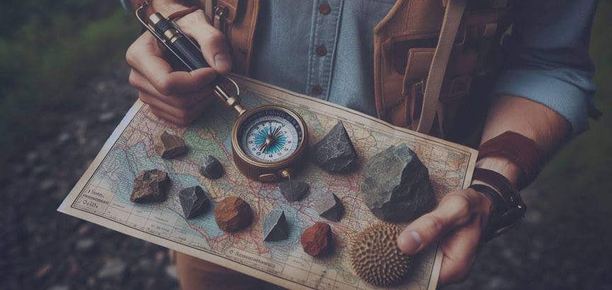
Detailed geological mapping for resource exploration and analysis.

Conducting all type detailed geophysical surveys to understand subsurface characteristics.
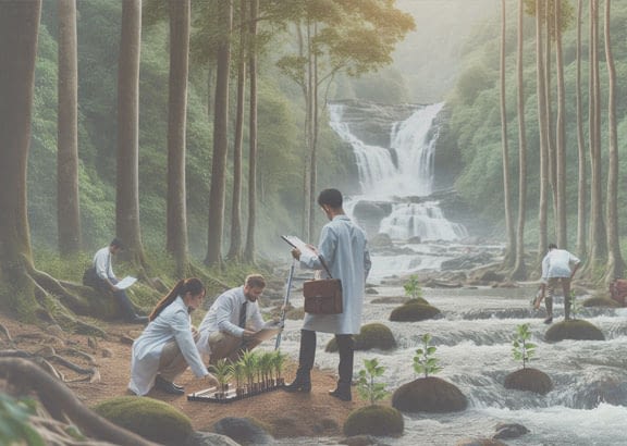
Strategies for efficient water conservation and management.

Precision mapping and analysis using advanced GIS and satellite data for effective resource management.

High-precision aerial surveys for geospatial data collection.
Geo-GIS Consultancy, an MSME-registered company, provides expert geospatial and environmental solutions, led by a team of professional geologists and GIS analyst experts. We specialize in services such as Geophysical Surveys, Geology Mapping, Subsurface Stratigraphy Modeling, Groundwater Surveys, Watershed Management, Drone Surveys, Rainwater Harvesting, and GIS and Mapping Services. Using advanced tools and technologies, we help manage land and water resources sustainably. Our goal is to offer practical, data-driven solutions that ensure long-term benefits for your projects.